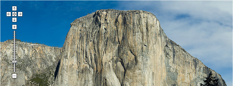
We wish we had thought of it ourselves, but the credit goes to Greg Downing and the team at XRez for using Google Maps to display high resolution images. By using a zoom lens and stitching software you can capture in scene in extremely high resolution - typically in excess of 95,000 by 40,000 pixels using a 300mm lens and 612 overlapping images.
If you then take the technology behind Google Maps and replace the maps with the resulting image you get a plugin free navigation tool.
The XRez site is well worth a visit...
GigaPixel Panoramas viewed in Google Maps - Genius
Andy
CASA, UCL East
Recent
The Papers: The 2nd Album
Spatial Computing and the Phygital City: Towards Digital Habitation
Color Weather: A Data Watch Face for the Pebble Time 2
Fenland: A weeWX Dashboard with forecast verification, ensemble models, climate records back to 1940 and finally, that tween...
City Clock: A City where the People Tell the Time