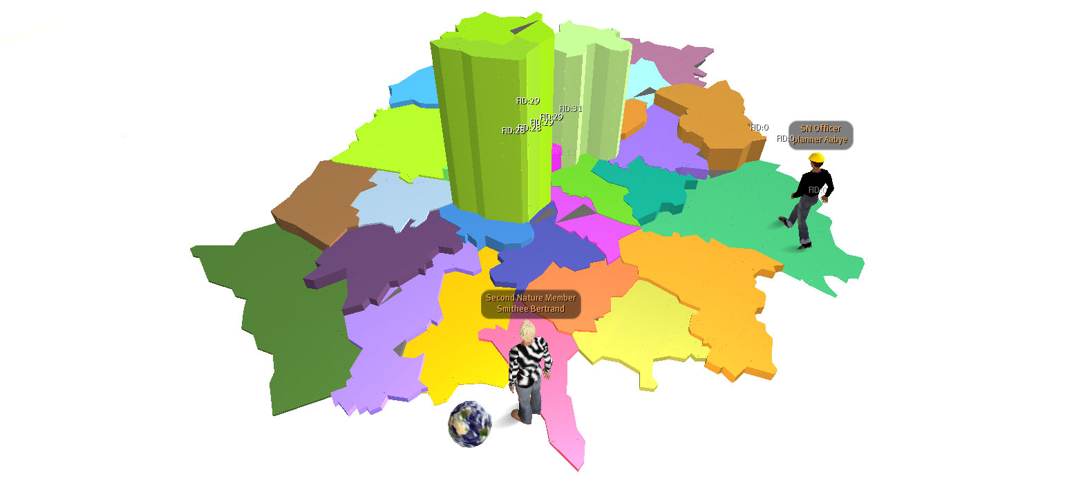
 As part of our research project funded by the National Centre for E-Social Science we are working on Second Nature Island (part of the NATURE group) on importing geographic data into Second Life.
We have just made a bit of a break through by importing data direct from a Geographic Information System (GIS) into our section of the world. As the Centre for Advanced Spatial Analysis the majority of our data is held in ArcMap, a GIS package made by ESRI.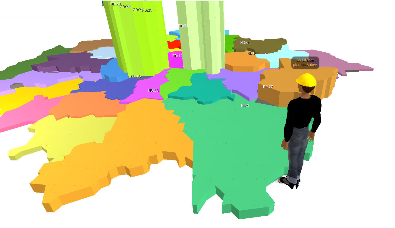
The two images (each clickable for larger versions) illustrate the 32 London Boroughs extruded according to their embedded data. Each Borough can be queried and more importantly can now be visualised in Second Life.
It is still early days but an exporter from ArcMap to Second Life would be a unique step in the aim to share geographic data in collaborative environments.
Thanks go to Joel at CASA for writing the scripts.
Arc to Second Life: Geographic Data Direct to Second Life
Andy
CASA, UCL East
Recent
The Papers: The 2nd Album
Spatial Computing and the Phygital City: Towards Digital Habitation
Color Weather: A Data Watch Face for the Pebble Time 2
Fenland: A weeWX Dashboard with forecast verification, ensemble models, climate records back to 1940 and finally, that tween...
City Clock: A City where the People Tell the Time