
SimCity GlassBox Game Engine: 4 Simulation Examples
Electronic Arts has released 4 short clips examining the simulation capability of the GlassBox Game Engine behind the forthcoming SimCity update. Image: Traffic Density in the original SimCity…
Read →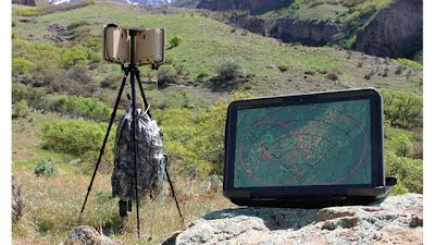
The world’s first complete Compact Surveillance Radar kit - Realtime Crowd Analysis?
At night or in bad weather, elite military and security professionals are reliant on technology to find potential…
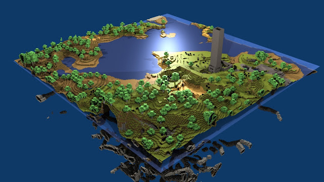
How to build a Minecraft town in 30 minutes
Minecraft is a sandbox construction game involving players creating and destroying various types of blocks in a three…
The GIS Song: All I Have to Do Is GIS
We like GIS here at digitalurban but obviously not as much as @josephkerski who has written a song all about his love…
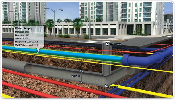
3D GIS IPad App: 3D-GIS in the Cloud
The 3D-GIS in the Cloud App for iPad and Smartphones allows city data to be navigated in 3D. Mixing augmented reality…

CryEngine 3 The Possibilities
On our MRes in Advanced Spatial Analysis and Visualisation we are currently focused on Lumion and Unity for rapid urban…
The Chapel HDR Timelapse and 'Making Of'
Regular readers will know that we have a bit of a 'thing' for the interiors of churches/chapels, timelapse imagery and…
Anthropocene - Viz from the Industrial Revolution to the Rio+20 Summit
Below is a 3-minute journey through the last 250 years of our history, from the start of the Industrial Revolution to…
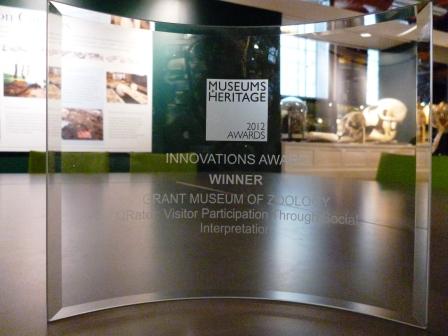
QRator wins the The Museums & Heritage Award for Innovation
QRator, the Museum focused ‘Internet of Things/Smart Places’ project developed jointly with us here at the Centre for…
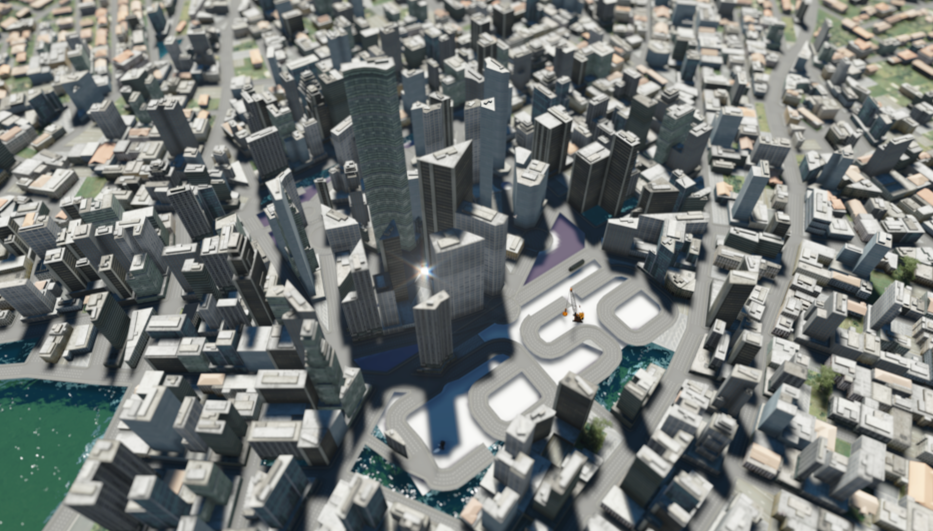
ESRI CityEngine, Lumion, and SketchUp - The Ultimate City Toolkit?
Over the last few weeks we have been looking at ESRI's CityEngine and how it can be used to create rapid urban scenes.…
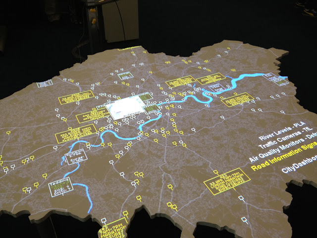
The London Data Table
As regular readers will know we recently held a one day conference here at CASA entitled Smart Cities, Bridging the…
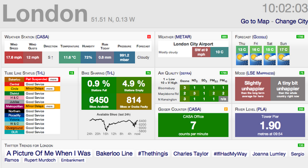
Citydashboard.org: A Live View of City Data
Introducing Citydashboard.org: A Live View of City Data - here at the Centre for Advanced Spatial Analysis , University…
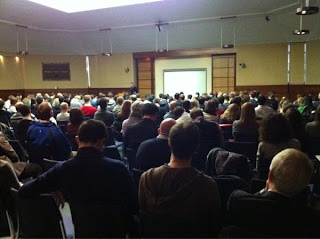
CASA Smart Cities Conference Report
Last Friday (April 20th) over 350 members of the public attended our Smart Cities ‘Bridging Physical and Digital’ open…