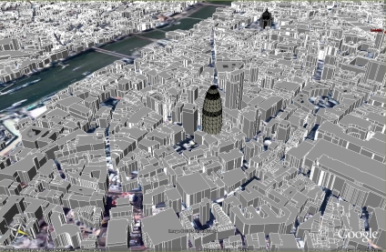
The main area of the Virtual London model was developed in both ESRI's ArcGlobe and Kinetix 3D Studio Max - largely by Steve Evans at CASA. We have now been able to export this data direct to Google Earth, allowing a rapid model of London to be visualised via the web with acceptable framerates.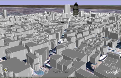
There are issues with placement, most likely due to projection which needs to be addressed, but as a proof of concept it illustrates the ability to port highly detailed data to Google Earth.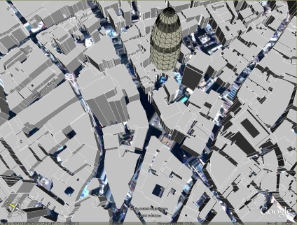
National Mapping Data with Google Earth
Andy
CASA, UCL East
Recent
The Papers: The 2nd Album
Spatial Computing and the Phygital City: Towards Digital Habitation
Color Weather: A Data Watch Face for the Pebble Time 2
Fenland: A weeWX Dashboard with forecast verification, ensemble models, climate records back to 1940 and finally, that tween...
City Clock: A City where the People Tell the Time