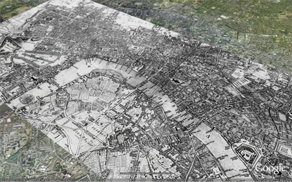
Using image overlays it is possible to compare cities over time. The above and below images illustrate the layout of London in 1690 - post Fire of London - in Google Earth. It is interesting to note when changing the transparency how the shape of the Thames has been modified with the building of Embankment. 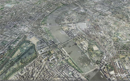
You can download the kmz file to fly into the overlay in Google Earth here
London Google Earth 1690
Andy
CASA, UCL East
Recent
The Papers: The 2nd Album
Spatial Computing and the Phygital City: Towards Digital Habitation
Color Weather: A Data Watch Face for the Pebble Time 2
Fenland: A weeWX Dashboard with forecast verification, ensemble models, climate records back to 1940 and finally, that tween...
City Clock: A City where the People Tell the Time