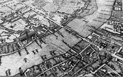
The image overlay of London 1690 has received a lot of interest. So much so that we now have a project at the lab to put more of these up as soon as copyright is cleared.
Frank Taylor from the excellent Google Earth Blog has sent us a tweak to the original file so that the Tate Modern now sits on the banks of the Thames rather than slightly in it due to a misalign. Thanks for that Frank. 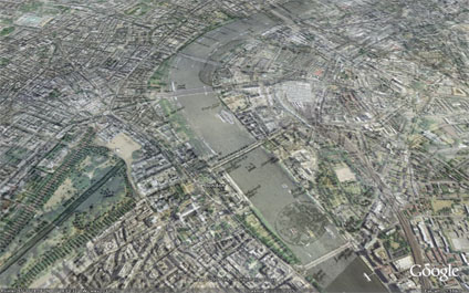
A number of key landmarks which were around in London 1690 and other overlays which are coming shortly will be added. Hopefully making it a good resource of the teaching of History and Geography.
You can download the kmz file to fly into the overlay in Google Earth here
London Google Earth 1690 - Tweak
Andy
CASA, UCL East
Recent
The Papers: The 2nd Album
Spatial Computing and the Phygital City: Towards Digital Habitation
Color Weather: A Data Watch Face for the Pebble Time 2
Fenland: A weeWX Dashboard with forecast verification, ensemble models, climate records back to 1940 and finally, that tween...
City Clock: A City where the People Tell the Time