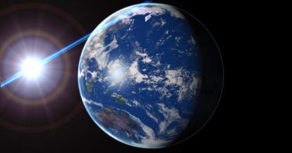
JC Francois's site NoirExtreme was a life saver when i found i had to step into give a lecture to the British Council on Global Warming.
This obviously requires a highly polished visualisation of the earth linking data relevant to climate change and thus demonstrating how new technologies cna be used to inform the public. Its a no brainer to use Google Earth but for a intro movie 3D Max can produce a more professional output.
Francois has a tutorial on creating a digital earth complete with lens flare - allowing a intro movie to be rendered overnight in time for the mornings talk.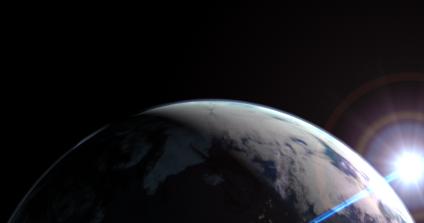
Google Earth is impressive but for pure visualisation you cant beat a good rendering in 3DMax.
Digital Earths - Rendering
Andy
CASA, UCL East
Recent
The Papers: The 2nd Album
Spatial Computing and the Phygital City: Towards Digital Habitation
Color Weather: A Data Watch Face for the Pebble Time 2
Fenland: A weeWX Dashboard with forecast verification, ensemble models, climate records back to 1940 and finally, that tween...
City Clock: A City where the People Tell the Time