 Involving local communities in making decisions about their local space often involves the creation of a group built model. The model is normally made out of cardboard and creates a 3D environment in which to discuss scenarios and opinions. Known as 'Planning for Real' we have always thought how interesting it would be to create a digital 3D model with a similar look. You only have to look towards the forthcoming Playstation 3 game 'Little Big Planet' in the movie below to see how well cardboard representations of buildings work:
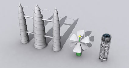 Last year we ran a Fantasy Architecture project with Court Fields Community School, whereby students sent in drawings of architecture and we reconstructed them in 3D. A good follow up project would be to leave submissions as drawings and import them into a multi-user environment or Google Earth to create a 'cardboard city'.
So if you have a pen a paper handy draw us a building and send it in c/o Andy Hudson-Smith, Centre for Advanced Spatial Analysis, 1-19 Torrington Place, University College London, London, WC1E 7HB, United Kingdom.. or email us via the link in the side bar...
*edit* - The music to Little Big Planet is insanely addictive - */edit*
Little Big Planet - Cardboard City Rendering
Andy
CASA, UCL East
Recent
The Papers: The 2nd Album
Spatial Computing and the Phygital City: Towards Digital Habitation
Color Weather: A Data Watch Face for the Pebble Time 2
Fenland: A weeWX Dashboard with forecast verification, ensemble models, climate records back to 1940 and finally, that tween...
City Clock: A City where the People Tell the Time