As part of work on the JISC funded National e-Infrastructure for Social Simulation project, CASA has put online 145 census maps. Running within the MapTube system, each map can be mixed and matched with any other map to create unique overlays.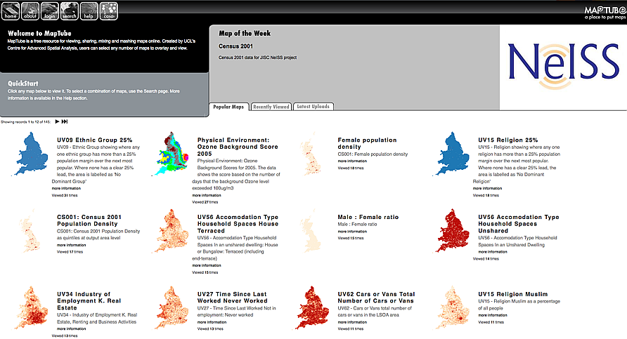
The system was developed as a quick and easy way to view maps of census data without having to go through a slow cumbersome list of drop down boxes only to be left with a .shp or .csv file to download. Future versions will include direct links to the raw data and the possibility to directly query the fields.
Of note in the development cycle of MapTube, each map is now created dynamically, this is in preparation for a new 'mapping service' which will be open to beta testers in early 2010.
You can take a look at the maps via http://www.maptube.org/census/
MapTube: Now with 145 Census Maps
Andy
CASA, UCL East
Recent
The Papers: The 2nd Album
Spatial Computing and the Phygital City: Towards Digital Habitation
Color Weather: A Data Watch Face for the Pebble Time 2
Fenland: A weeWX Dashboard with forecast verification, ensemble models, climate records back to 1940 and finally, that tween...
City Clock: A City where the People Tell the Time