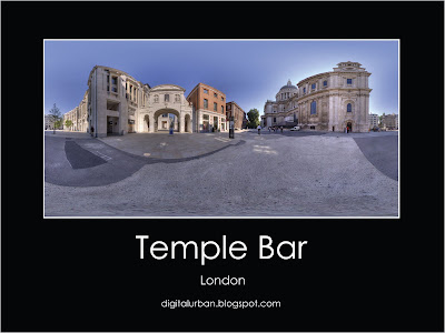
Temple Bar Panorama
Temple Bar is the last remaining gate of the old City of London. Built by Christopher Wren in 1672, Temple Bar divided Fleet Street and the City of London from the Strand and Westminster. It is…
Read →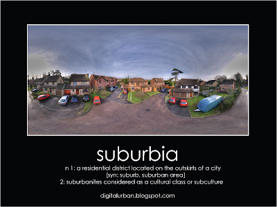
Aerial Suburbia Panorama
Suburbia is a surreal experience when your usually based in the city 24/7. The panorama above highlights the quiet…
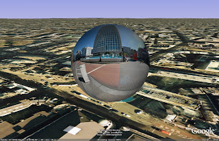
DigitalUrban Announces Panorama Viewer for Google Earth
digitalurban.blogspot.com is pleased to announce a panorama viewer for Google Earth. Until now to view a panorama you…
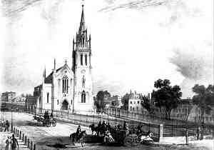
St John's Church Newham - Google Earth
As part of the Virtual London project at CASA we are modelling part of Newham. Developing the area section by section…
Google Earth Data Visualisation Sample
As part of our GeoVue project at CASA we are looking into ways to rapidly visualise data - one way is via our Freely…
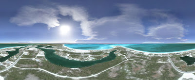
100m Above Treasure Cay - Abaco, Bahamas Panorama
John Housser has sent us in a panorama captured in Google Earth of Treasure Cay, Abaco in the Bahamas. Treasure Cay is…

Digital Urban in 3D World
Thanks to Joanne at UEL for the heads up on this, the blog is featured in this months 3D World Magazine . Fabio Alviani…
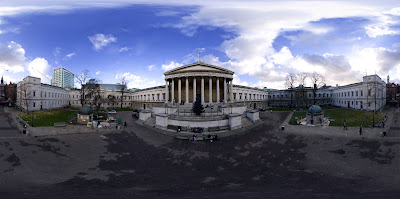
Aerial University College Quad Panorama
The Universities main building, pictured in this panorama, was designed by William Wilkins and constructed between 1827…

Digital Urban Flickr Group
We have set up a DigitalUrban group on Flickr for readers to share any urban photos or 3D renders relating to the built…
Urban Images with Flickr/Splashr
We've been slow on the uptake with Flickr but we finally have some photos uploaded as the result of the new tool from…
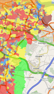
CASA Announces Google Map Creator
Google Map Creator is a freeware application designed to make thematic mapping using Google Maps simpler. The software…
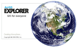
ESRI ArcGIS Explorer Beta - GIS for Everyone (?)
ESRI's ArcGIS Explorer loads with the banner 'GIS for Everyone'. At a first look however the beta product has a long…
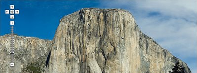
GigaPixel Panoramas viewed in Google Maps - Genius
We wish we had thought of it ourselves, but the credit goes to Greg Downing and the team at XRez for using Google Maps…