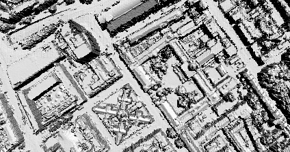
We are in the first stages of our work funded by London Connects to extend the London model to the cities extent. As part of this we are working with Raw Lidar Data (LIght Detection And Ranging) - take a look at Lidar.com for more info. 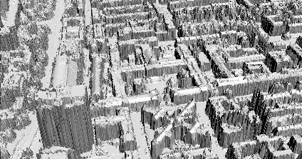
Using data provided by InfoTerra and software written in-house by Chris Parker we have been able to import the data direct into a 3D Modelling package and render a sample movie. Modelling utilising Raw Lidar data is a issue which is still in its early stages of research but it creates an interesting movie of the city as viewed by the scanner. More movies will be available soon.
You can view the movie here (4mb Windows Media Player format)
Rapid Architecture - Lidar Movie
Andy
CASA, UCL East
Recent
The Papers: The 2nd Album
Spatial Computing and the Phygital City: Towards Digital Habitation
Color Weather: A Data Watch Face for the Pebble Time 2
Fenland: A weeWX Dashboard with forecast verification, ensemble models, climate records back to 1940 and finally, that tween...
City Clock: A City where the People Tell the Time