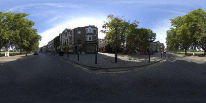
Richmond Green London Panoramas
Richmond is a suburb in southwest London, in the London Borough of Richmond upon Thames. Richmond Green is in some ways a typically English scene - from the small local pubs to the oak trees, the red…
Read →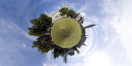
Parliament Square London Panorama
Parliament Square is notoriously difficult to get to, and yet it provides a unique view of the Houses of Parliament and…
RealViz Stitcher 5 Review vs PTgui 5.1
RealViz has released an update to its once impressive panorama stitching software in the form of Stitcher 5. The…
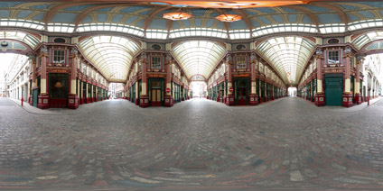
Leadenhall Market London Panorama
Leadenhall Market is a covered Victorian structure housing a unique range of shops, produce and small boutiques.…
City Hall London Panorama
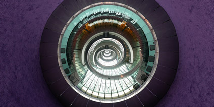
City Hall is home to the Mayor of London, the London Assembly and the GLA, who in July 2002 became tenants of this…
National Mapping Data with Google Earth
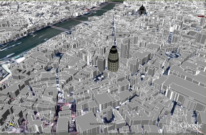
The main area of the Virtual London model was developed in both ESRI's ArcGlobe and Kinetix 3D Studio Max - largely by…
Google Earth St Paul's and Digital Elevation Model
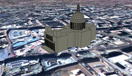
As part of our wider Virtual London work in ESRI's ArcScene and 3DStudio Max we have a detailed model of St Paul's…
Google Earth Canary Wharf
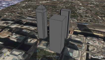
Modelled along the lines of the 30 St Mary Axe post in this blog are three buildings in Canary Wharf. The map overlay…
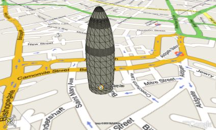
Google Earth Model and Map Overlay
A rapid model of 30 St Mary Axe in London with Google Maps overlayed in Google Earth. The air photography of London is…
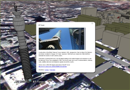
Google Earth London
A week since the last post - so an update on what we are up to. It is now possible to import your own buildings into…
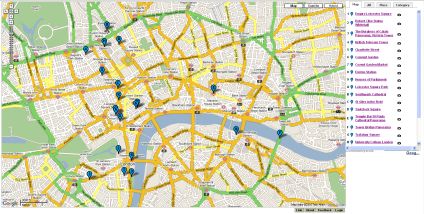
Google Map Panoramas - Community Walk
Another test of the Google Map system, this time using Community Walk . Panoramas and info are hotlinked on the map. It…
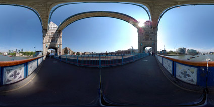
Tower Bridge London Panorama
Tower Bridge was completed in 1894, after 8 years in construction. The bridge was built to take pressure of London…
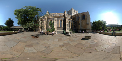
Southwark Cathedral London Panoramas
South Cathedrals fulls title is The Cathedral Church of St Saviour and St Mary Overie. A church has stood on the site…